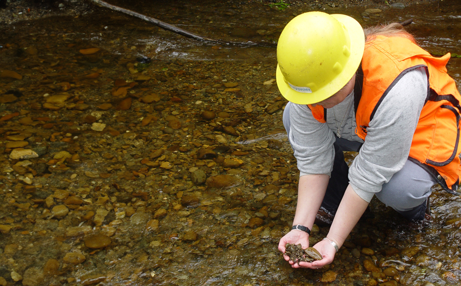
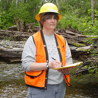
Green Jobs

Geomorphologist

Geomorphology is the field of geology that focuses on surface processes such as soil development, glacial erosion, and landslides. Forestry organizations lean on the scientific and research skills of the geomorphologist to guide, improve and maintain quality forest management.

Geomorphologists have knowledge of geomorphology, statistical data analysis, and geographic information systems (GIS).

This position may also be referred to as Watershed Scientist, Wetland Ecologist, Geologist, or Geotechnical Engineer.

Julie Dieu

Geomorphologist, Rayonier

What I love about my job is the variety of tasks, with field days traversing steep harvest units and reviewing road construction projects, meeting days for several science research groups, and office days for report writing and data analysis. No two days are the same, which is part of the pleasure of this job.

Education

Most employers require a Master of Science or Ph.D. in geomorphology, geology or hydrology, preferably with an emphasis on slope stability. While pursuing an education in geomorphology, consider taking computer courses that give you experience in modeling and mapping.

Helpful courses to take in high school include earth science, geography, computer science and mathematics.

Tools of the Trade

  • Surveying equipment such as GIS, geophysical survey, and aerial photography are used to gain landscape imagery for analysis.
  • Laboratory tools, such as droppers and test tubes, are used to collect samples of organic materials, such as sediments from water, to analyze and determine whether the materials have an effect on the land.
  • Advanced computer programs for mapping and modeling.

Important Skills

A geomorphologist should have a knowledge of geomorphology, slope stability, erosion and sediment transport; geographic information systems (GIS); and the analysis of complex natural systems. This role also needs a general knowledge of hydrology, siltation impacts and mitigation for water quality and fisheries production.

Knowledge of remote sensing and GIS methods, as well as knowledge of machine learning techniques, is needed.

Must have a strong research background or education. Must also have the ability to work in a team with other scientists, including geologists, forest hydrologists, and other research staff.

Computer modeling and land mapping skills, strong mathematical and science skills.

Must have a passion and desire to work outdoors, as this role involves extended periods of time in remote forest locations.

Job Responsibilities

Typical responsibilities for a forestry geomorphologist include:

  • Collecting and analyzing data from the working forest.
  • Writing and presenting reports on findings.
  • Mapping out areas of the working forest before and after taking measurements.
  • Using computer models to determine any changes or shifts in the land.
  • Mapping and modeling changes to forest land to predict future impacts from forestry practices.
  • Evaluating specific harvest units or road stability issues.
  • Develop alternative engineering or silvicultural approaches where slope stability or erosion poses a hazard.
  • Monitor and guide regulatory actions relative to water typing, unstable slopes, and road construction and maintenance.

Climate, natural occurrences, and human and forestry activities all play a role in the shifts that occur to forest land and water systems. The geomorphologist is responsible for studying and understanding the “how and why” behind these shifts.

Climate change and the impact it has on stream flow and temperatures is an example of a research project that a geomorphologist may be involved in. Another example includes estimating the effects of forest regeneration following harvesting activities. These types of research projects, and the conclusions drawn, play a critical role in the processes that are implemented in the working forest.