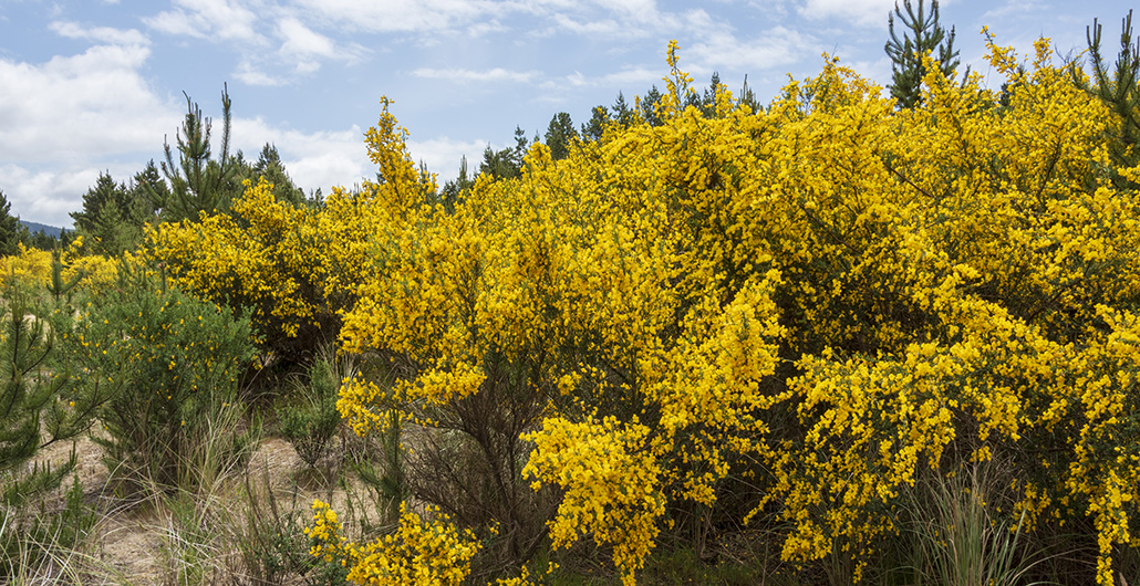
Mantaining the Forest
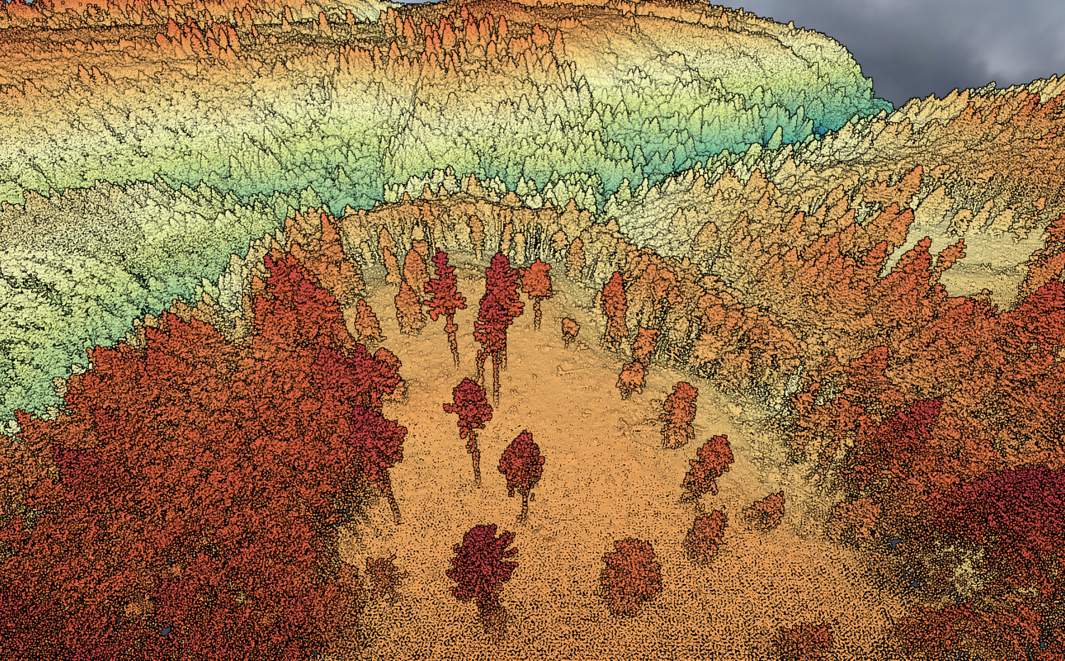
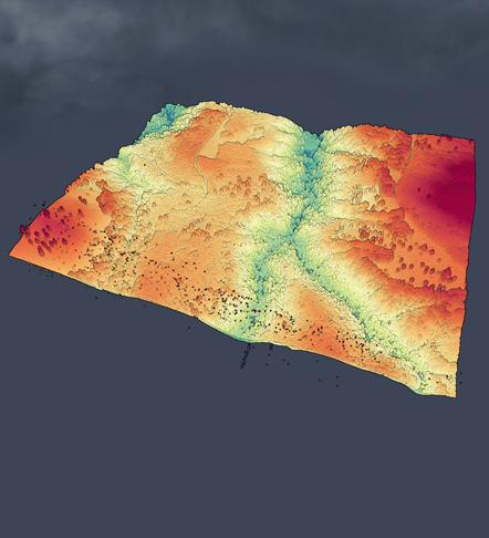
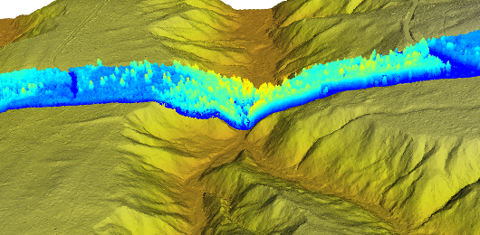
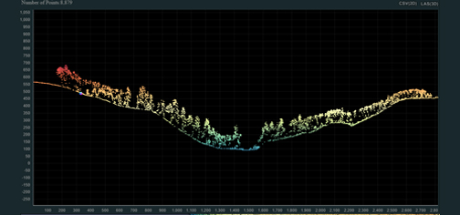
Mapping and Imagery

Foresters take care of thousands of acres of trees (one acre is the size of a football field). High tech tools can help them assess the health of the forest, locate wildlife habitats that need to be protected and map out many different layers of information that will help with decision-making. 

In this lesson, learn about some important tools we use in the forest.

MAPPING AND IMAGERY

GIS, GPS and Aerial Photography

In forestry, we have a lot of acronyms. Two very important ones are GIS and GPS:

  • GIS: GIS stands for Geographic Information System. This is a computer program used to collect geographic data, analyze it and display it through layers of maps. Our GIS systems often provide multiple layers of information in real time. For example, soil type, topography, aerial images, water features and endangered species habitat sightings.
  • GPS: GPS stands for Global Positioning System. This is a satellite-based navigation system. If you ever used an app for directions, such as Google Maps, you were using GPS. In forestry, we use GPS to find our way to precise locations. For example, we may need to measure a specific set of trees in the forest. GPS helps us find them.

The ForestryWorks! video below shows how images collected from satellites and planes can be used to create complex, layered maps to help foresters make the best decisions for each property.

Mapping and Imagery

LiDAR

Lasers in the forest? LiDAR shoots thousands of laser beams down over the forest at one time. The data collected from the way the lasers’ light bounces off the trees can be compiled into detailed images of the forest. This can help foresters not only measure and count trees, but also locate waterways they need to protect and map out the topography (such as hills, valleys and mountains) on a property.

Mapping and Imagery

DRONES

Foresters use drones in the forest all the time! A drone flight can give us a good look at the treetops as we are assessing the health of a stand of trees. Drones can be used after a weather event to determine whether roads are safe to drive on. They can be used to monitor a controlled burn or even a wildfire. Super drones can carry items across the forest, sparing foresters and loggers from having to walk across steep terrain.

Watch the videos below and listen to the many ways drones are used. How many uses can you come up with?

Applying What You've Learned

The scotch broom, shown to the left, is a weed that harms young trees in the Pacific Northwest. The best way to spot it is when it blooms with bright yellow flowers. Which of the tools discussed above would you use to determine where the weed is growing in a stand of trees? Why did you choose that tool?

MAPPING AND IMAGERY